I-10 runs across the dry ancient lakebed that is now Coachella Valley and but the absence of easy bridges over the stark divider has produced some odd impacts on the resulting sprawl.


HDR Photography
I-10 runs across the dry ancient lakebed that is now Coachella Valley and but the absence of easy bridges over the stark divider has produced some odd impacts on the resulting sprawl.
Summer nights on Trinity College’s campus are quiet but the paths and buildings remain as effulgent as ever. There’s a luminous quality to this aerial view that really captures the sensory experience of exploring the quads by night.

A work truck heading into a rainy desert valley whisper tales of a working-classic California life that gets glossed over in many depictions of Coachella Valley.

Just how curvy does a road have to get before it’s too curvy? Though opinions will vary, I’m sure, I have to guess that, from a civil engineer’s perspective, the Palms to Pines Highway must be pushing the limits.

Definitely click through to Flickr for the full-resolution detail on this panorama covering the approach of the Palms to Pines Scenic Byway into Palm Springs.

Though it may lack the verticality of Blade Runner’s Los Angeles in 2019, the cloudy skies and slightly sinister oranges put me in mind of the film’s iconic imagery.

I’ve shown you a far different view of the wind farms at the northern end of Coachella Valley, but an aerial view at dawn provides better documentation of the project’s true scale, and its place in the fascinating geological setting of the valley.

The West Side Highway has fascinated me ever since I saw it in this very illegal lap around Manhattan years ago, but the road was mostly empty on this Sunday morning for a different kind of race: a running road race.

The Bonneville Salt Flats are the perfect location to spot a fast car with a big wing—though it’s perhaps a bit diminished when the car is on the Interstate, rather than the crumbly old lakebed surface proper.

Fires in the dry, brush-filled country of the American West can be a serious problem. Driving along the Interstate, we saw the ash-carpeted remains of one. The wind whipped the fine particles into a vertical column at the crest of this hill.
The Oakland skyline looks warm and friendly on a clear night in the summer, but I have to suspect that a quick blast of marine layer might be just around the corner to shift that thermal distribution.
In the Berkeley Hills, above the National Lab’s Advanced Light Source, the view over Oakland’s twinkling night sprawl entrances. Look at all of those light-emitting objects! As LED lights have replaced sodium vapor models, I’m particularly fascinated in the shift as cities glow white, instead of orange.
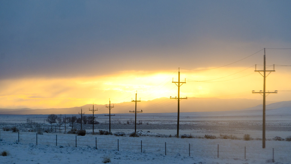
Crossing the American West last winter, I was struck by the profound changes to the landscape affected by large-scale infrastructure programs. Rural electrification resulted in an expectation of electrical availability, and power lines now stretch to the horizon.
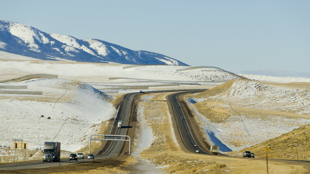
In much the same way, lines of Interstate highway curve off to the distance, twinned East and West streams.
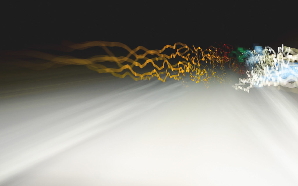
After dark on an empty stretch of highway, the reflective signs become hypnotic.
Driving through Buffalo in the snow-entombed aftermath of the recent blizzard meant sliding our car between snow drifts and abandoned vehicles, all brutally carved out of the way by earthmoving equipment. Though I’m used to seeing a cut in an earthen hillside, it’s quite different to see cuts as necessary to open a snowy highway. Given the way this storm will stick in folks’ minds, I like the idea of a fuzed, muted scene that already seems placed in memory.