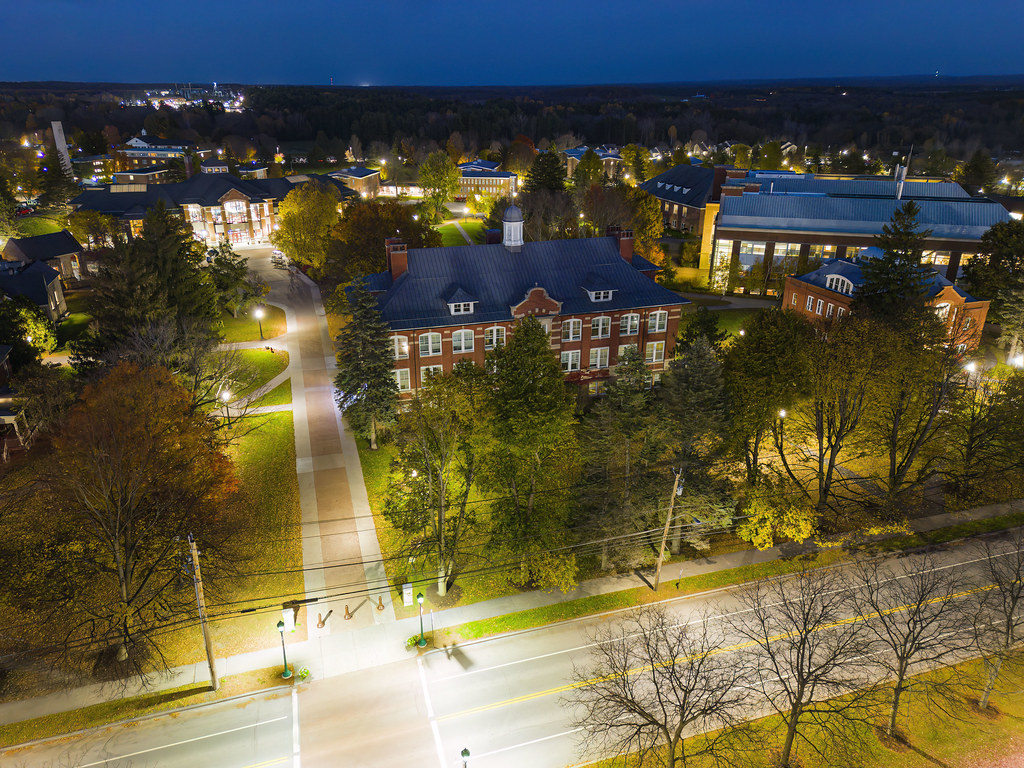
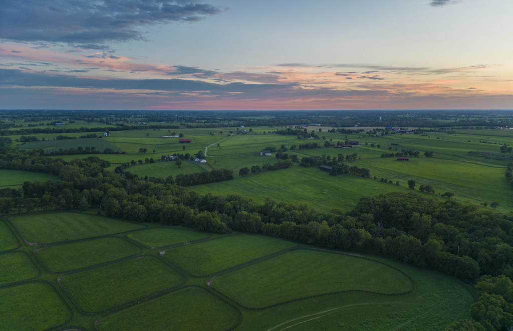
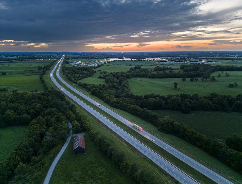
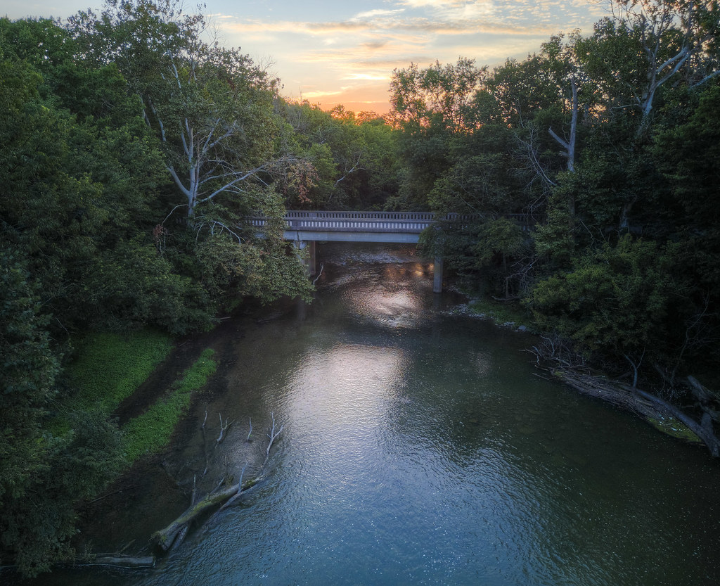
Why save RAW camera outputs from (in this case) six years ago? Digital photography is a rapidly advancing field, and the advent of machine-learning-based noise reduction techniques has completely changed what sorts of images are salvageable. This lovely shot of Berkeley’s fire trails and tall (but invasive) eucalyptus trees stayed in the “unusable” pile for half a decade because I took it freehand, just after sunset, before I deployed my tripod—resulting in an ISO 4500 image from my old D7000 that was just too noisy. Topaz’s latest filters solved that and now this photo can take me back to my California sabbatical.
Tag: Sunset
Riding Into the Sunset on Converging Paths
Kirk Douglas Hall
Big Kentucky Skies Above
Kentucky Paddocks and the Sky Beyond
Too Many Ponies at Sunset
Old and New Kentucky
Rays from the Barn
Drones open up all kinds of new perspectives, but these vantages don’t always have to be extreme or dramatic. The equivalent height of an aerial work platform presents just the correct geometry to get these rays from the setting sun to explode from the roof of a recently renovated barn outside Lexington, Kentucky.
Bridge Between Counties
Bridges between counties in the approximately southern United States mostly remind me of Smokey and the Bandit, but this one between Woodford and Scott counties in Kentucky differs both in that (1) it’s not currently out, necessitating a dramatic jump, and (2) it’s experiencing a far more peaceful evening.
Dry Paths and Trails
Rain brings spontaneous desert symmetry breaking: some areas become rivers and streams, while others stay high and dry. La Quinta Cove brings hiking trails into this equation. Looking high over the landscape, those trails and dry streambeds may be hard to distinguish—until the rain comes. In the distance, just above the tan tanks on the left of the image, the Salton Sea serves as a reminder of how water and the desert interact.
Desert Until the Valley Floor
One Horse Spices Up the Whole Scene
Flying is Easier Than Hiking
The path at right is a fairly treacherous, dusty way up to the top of this hill; it’s the one I took last year to capture images like this one. Flying to the top with my drone is, by comparison, a bit less strenuous.
Horses at Home
Hill Structure
My trips to this hill last year were constrained by the limitations of gravity; bringing my drone with me this year opened up whole new vistas and geometries. The artificial nature of this water retention area is far more apparent when view from the air.


