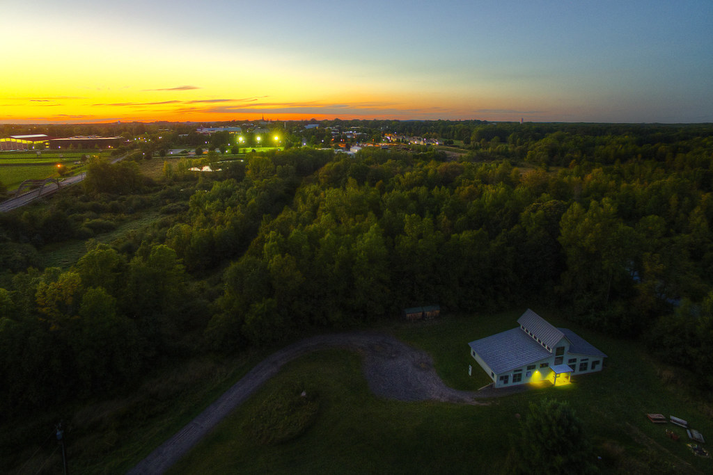
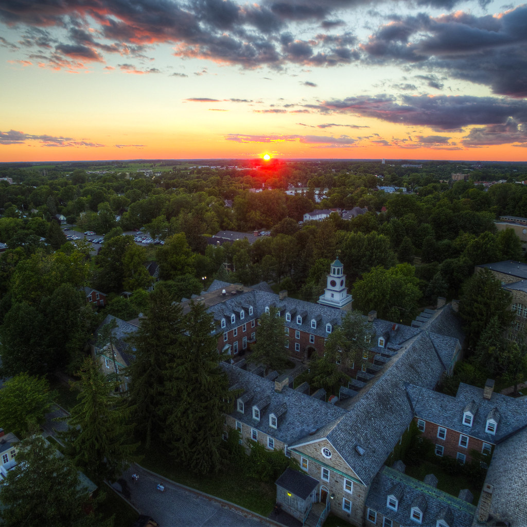
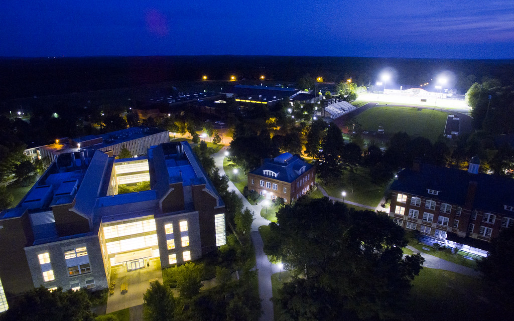
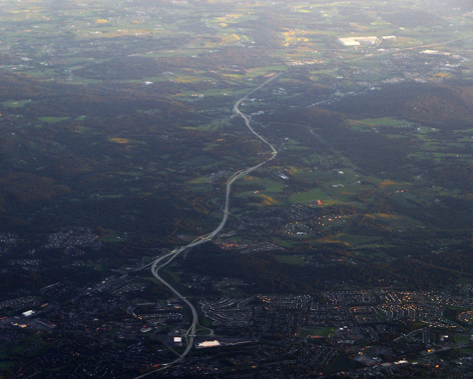
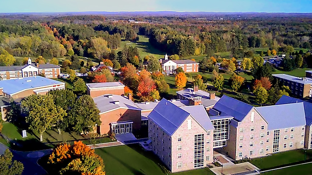
After all of these summer images, it’s time for something completely different from the Berkshires.
Tag: aerial
Last Light on a River
Continuing my exploration of the capabilities of Aurora HDR from Wednesday, I processed this image from high above central Pennsylvania after sunset using that software and the Noiseless CK package to unbelievable results—that is, I literally could not have achieved this image with an acceptable level of noise using my earlier workflow. Though it’s still not perfect, I can’t stop examining the path of that river, lit by the last few photons of the day.
Escape the Suburbs
The gradient from dense, urban (and suburban) areas to rural and natural settings is one of my favorite photographic subjects—and the subject of most of my favorite photographs. In this particular aerial shot from the in-between area over Pennsylvania, the sun has mostly set, leaving shadows and a few orange reflections in the overly ordered geometry of subdivisions. Down the winding highway, beyond the hills, in the less-dense and more agrarian land, the sun still casts a warm glow.
Fall Flight
Procrastinating a proposal is a great time for a quick drone flight. Though the camera quality is still around “potato,” the sight of St. Lawrence’s campus as autumn colors seep in, with foothills in the background, was too good to pass up.
If you’d like to watch the full flight (complete with overly trippy guitar music in place of screaming drone prop noise), I uploaded it to YouTube. The need for a gimbal on the camera is evident.
Flying Over St. Lawrence I
This image, taken from the air over Campus Security and with the restored steeple of St. Lawrence University in the background, might not be quite up to my normal quality standards. I find it more interesting for another reason: it’s the first (good) picture I’ve captured with a quadcopter drone. I have to admit, the potential of the technology for landscape photographers is pretty exciting. Now if I can just get a drone to carry something as heavy as my DSLR…
Circles of Life
From the human-scale intimacy of family life yesterday, I wanted to contrast at the other extreme: the irrigation-induced circles of the central United States in an otherwise barren landscape. Particularly as spring (and photosynthetic life) begin to dominate the countryside, I wanted to reflect on the role of humans in that transformation.
Little Oregon Horseshoe
A rural childhood lends itself to stretches with zero requirements: impossibly muggy summer afternoons or frigid winter nights trapped inside. I spent many of those stretches drawing maps of fantastical places, and I can’t help but wonder if my current interest in aerial photography stems from the process of projecting real scenery onto my imagined childhood maps. This meandering oxbow near the Columbia River Gorge has that feel of a place perfect for a fort, doesn’t it?
Jamaica Bay to Manhattan
Departing JFK International Airport over Jamaica Bay, with the Manhattan skyline glittering in the sunrise, brings to mind my favorite topic: the gradient between dense urbanization and “wilderness.” If there’s a consistent theme to my photography, it’s the desire to capture this gradient in a single image (as I sometimes have in other settings.) Even my wide angle lens couldn’t capture the whole scene, but here’s One World Trade Center and the Empire State Building alongside the wetlands of Jamaica Bay, with New Jersey and Brooklyn buffering and smoothing the divide to a gradient.
Manifest Land Use
Small Town Survey
Somewhere over America on my transcontinental flight, I spent a lot of time pointing my eyes out the window. (Even calling it staring would probably imply too much attention and effort.) Among the low hills and fields of the whole of North America, I saw this town poking out from amid the rural surroundings. In abusing vignetting effects, the “this is my SimCity!” vibe is transformed to some Cold-War-paranoia-inducing, spy-plane-esque, “Soviet bombers over the heartland” effect. (And in my continuing efforts to document the gradient between urban and rural, this is a new approach.)
Oregon and Washington
Aerial photography presents a magical, avian view of the world around us, but until I (someday) get a quadcopter drone, commercial air travel is my best friend. (Other than the fact that pretty much all other aspects of commercial air travel are pretty miserable.)
In any case, this photograph of the Columbia River, with Oregon on the right of the image and Washington on the upper-left, does a good job of capturing the strange mish-mash of agriculture, residences, and industry in the Pacific Northwest.
Geometry of Agriculture: Brazil
On a jet high over central Brazil, the cropped, divided, and cultivated land has a strange organge and purple color to it. Some fields are the broad circles of modern irrigation equipment, while others are odd heptagons nestled next to rivers and streams. From above, the landscape is alien. As an awesome side-note on Brazilian airlines: checking luggage is free and encouraged (so the overhead bins are empty), the airlines serve ham and cheese sandwiches instead of pretzels, and no one speaks a word of English.
Stormy South Campus
College of Chemistry
UC Berkeley’s College of Chemistry is truly massive, occupying five interlinked buildings in a massive complex (with tendrils reaching out to half a dozen other buildings.) Even the courtyard at the center of the complex actually functions as the roof for two more floors of subterranean lab and office spaces (including my own.) From an aerial photography context, I suppose you could call this my self-portrait.
Berkeley and the Rainy Hills
True, Eastern-Seaboard-style storms are a rarity in the Bay Area. When the weather obliges, there’s no better place to experience the full brunt of a storm than the Campanile tower. Battered by the wind and enormous raindrops, I mentally thanked engineers for the weatherproof camera body and grabbed this three-exposure HDR shot. Angry clouds dwarf the Eastern edge of Berkeley’s campus. On the left, you can see the College of Chemistry and the Lawrence Berkeley National Lab. In the middle, the Haas School of Business, Strawberry Canyon, and Memorial Stadium. On the right, the College of Environmental Design and the International House. The heavy rain makes every color so much darker and more intense.


