Add a mile or so above the Mile High City and the sunset views are spectacular, even on clear winter nights.


HDR Photography
Add a mile or so above the Mile High City and the sunset views are spectacular, even on clear winter nights.
This particular acute crossroads in Salisbury, Connecticut is home to the White Hart Inn, and it turns out that it’s photogenic in just about every season.

Sunrise over Los Angeles and SoFi Stadium; time to say goodbye to 2021. See you in the new year!

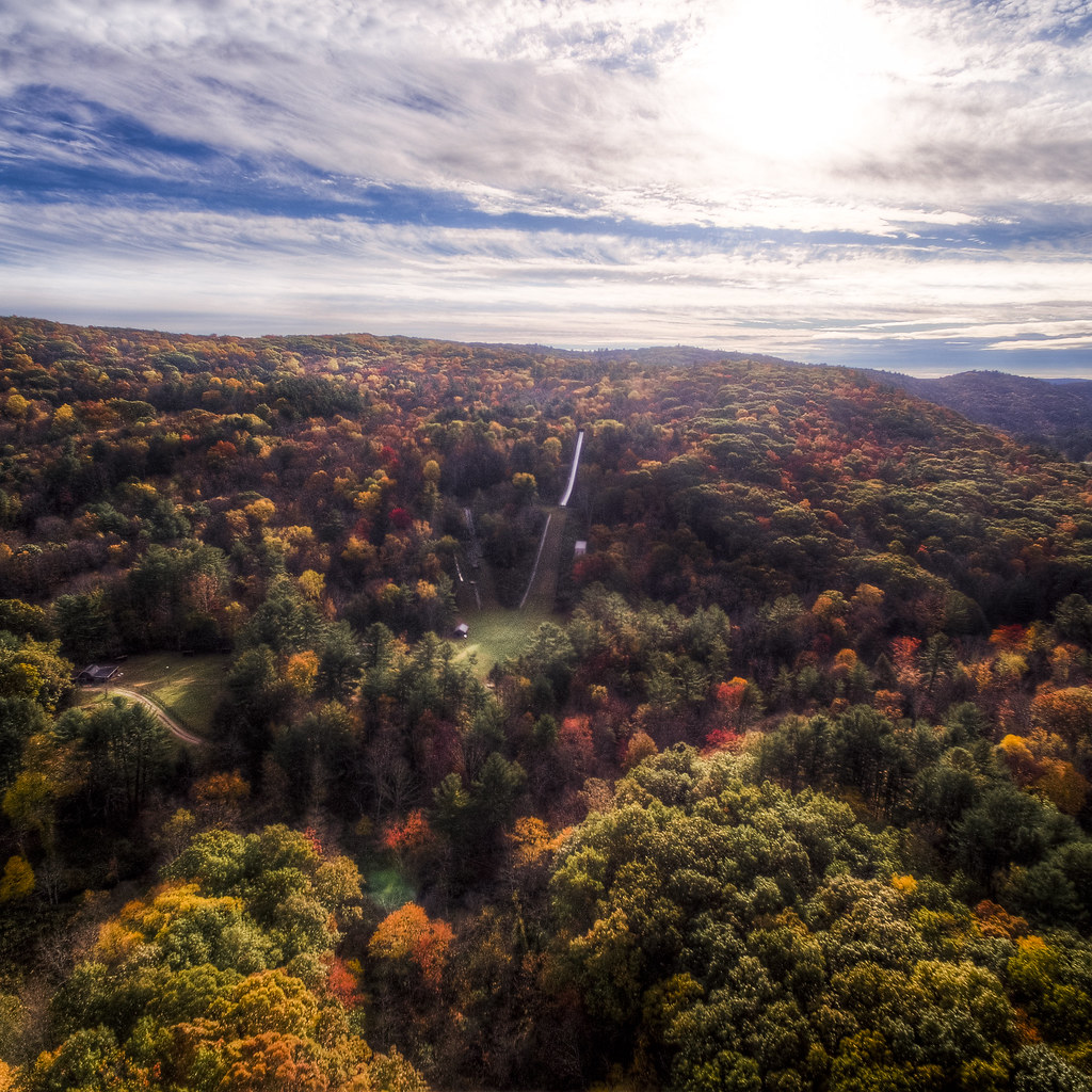
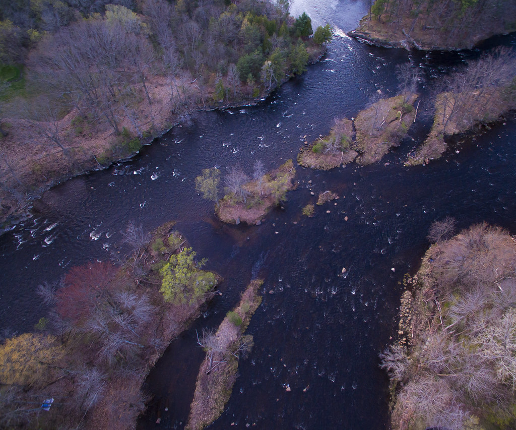
As a child, I dreamed of flying over my home town—viewing all of the familiar paths from high above. Visiting that town last weekend, I was able to photographically make that dream a reality. The forests where I hiked and the town ski jump are all laid out before the drone’s lens.
Amongst the Thousand Islands, scattered between New York and Ontario, this island of fields and wind turbines seems to be astride the past and the future.

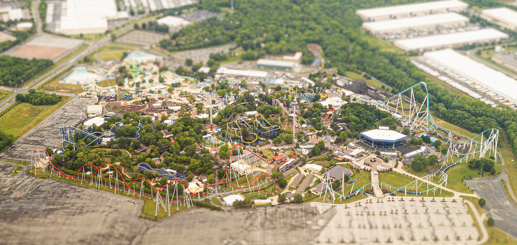
Childhood games of RollerCoaster Tycoon conditioned me to the experience of viewing theme parks from high above; passing Six Flags Great Adventure in a commercial airliner provided a remarkably similar vantage.
A drone shot of the Cascade Diner (and its subterranean partner, the Buccaneer Lounge) reveals the reason for the institution’s name.

As a child, I was deeply interested in the idea of islands—these isolated, well-defined chunks of land that were separated from everyone else. My favorite LEGO sets were those modeling pirates marooned on desert islands. I wonder what my childhood self would have thought of living in a town with an uninhabited island at its center?

We’re hitting maximum summer and (in the east) a bonkers explosion of photosynthesizing surfaces; the small, new leaves of spring seem sort of tasteful, by comparison.

“Camping” usually means being far from civilization, to me, but flying over Heritage Park in Canton revealed this tent pitched in the middle of town.
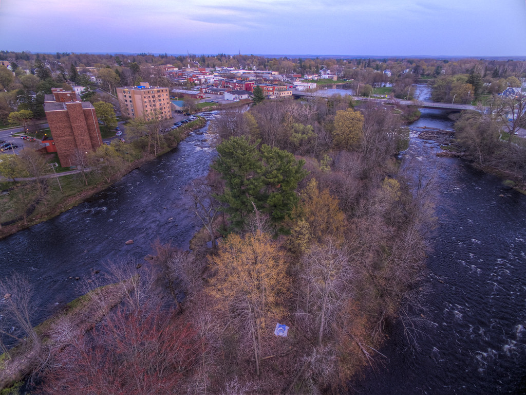
In this sunset drone image, you can clearly see the bridges that connect SUNY Canton to the rest of its namesake village.

From a less literal island in my last post to much more literal set on the other side of the country: this scattering of islands in the center of Canton, New York are equally their own little tree-clusters.
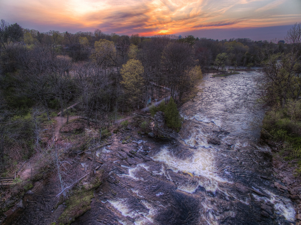
Perhaps it’s a childhood spent on the trails around Mohonk Mountain House, but whatever the reason, I’m a huge fan of stairs along trails. This drone’s-eye view of Heritage Park’s trail in Canton shares some similar trail architecture.

This uninhabited island sits at the center of Canton, New York. While it’s currently a park, the ruins on the island indicate its past as the site of water-powered mills that processed the products of the surrounding farmland. I’m still discovering more of its history, but I’m fascinated by the process that could lead an entire section of a town to be abandoned.
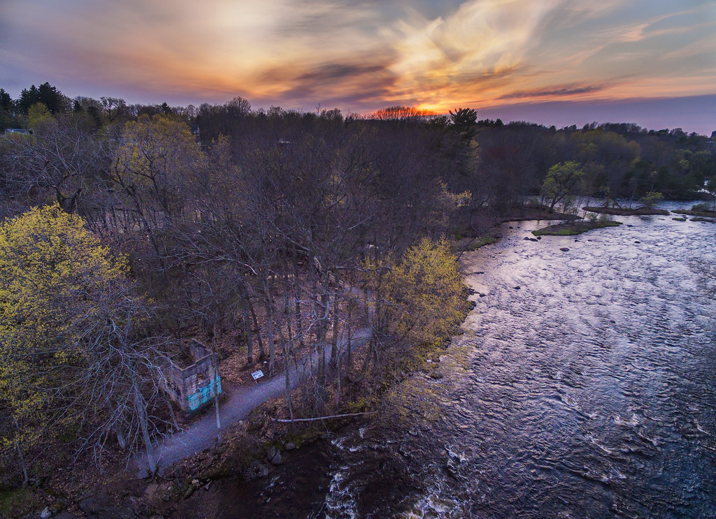
A trail, complete with cool stairs and abandoned ruins, on an island in the middle of town is something my childhood self would have been absolutely over the moon with. From a drone’s eye view, I think that sense of magic is effectively captured.