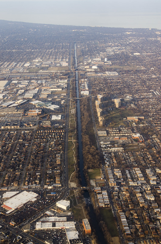
Chicagoland’s nearly 2D topography and nineteenth-century population boom conspired to make for a remarkably uniform grid of structures and roads. Even the water that might “go rogue” in another setting is often confined to the grid.

HDR Photography
Chicagoland’s nearly 2D topography and nineteenth-century population boom conspired to make for a remarkably uniform grid of structures and roads. Even the water that might “go rogue” in another setting is often confined to the grid.
